
Weather and Climate Intelligence
Satellite-based forecasts, rainfall, storm and drought monitoring for farms, utilities, shipping and aviation.
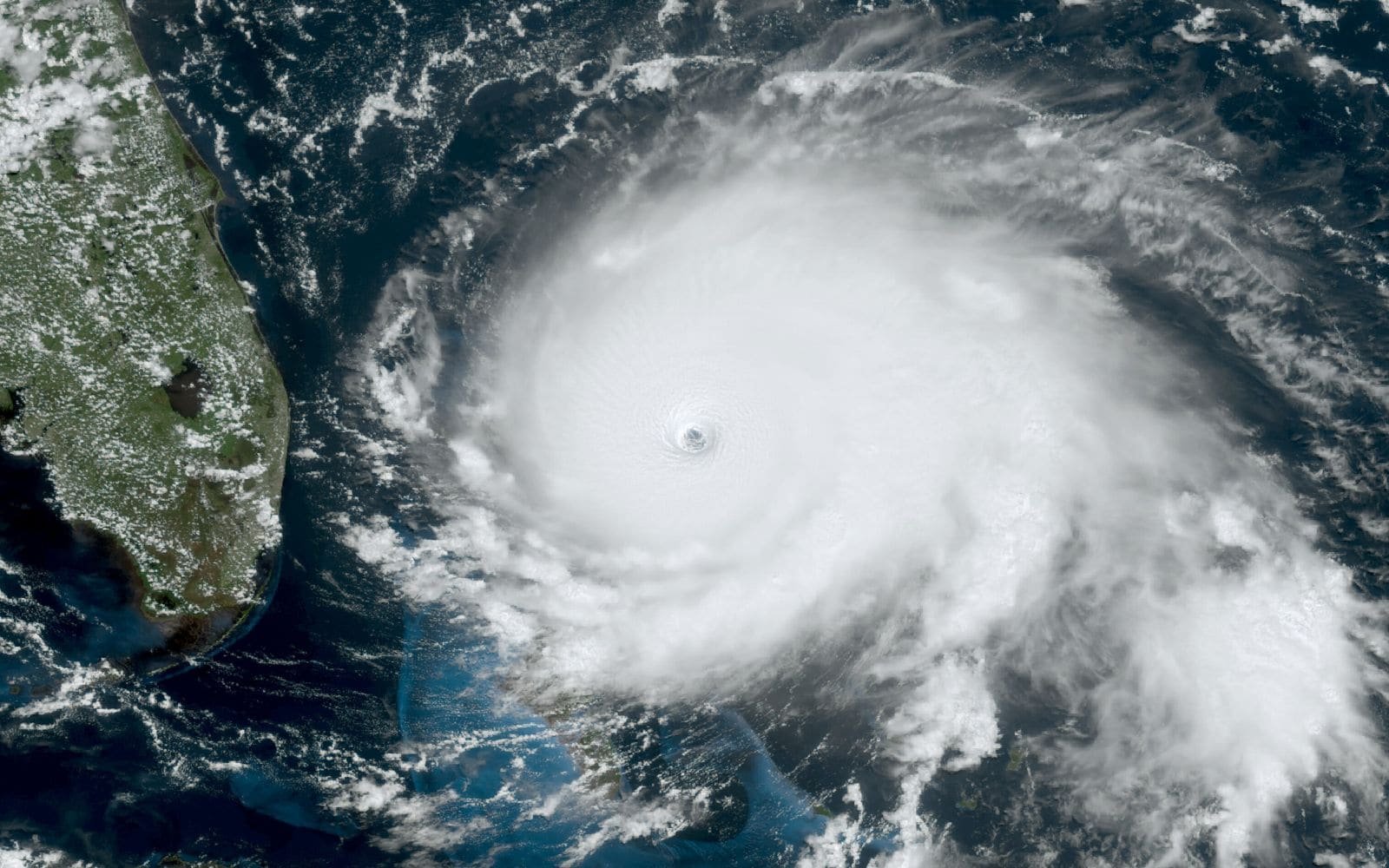
Weather satellites provide the raw data behind forecasts and warnings. We combine public and commercial sources into daily information that is relevant to your site, crop, route or project.
What this covers: Weather forecasting, Rainfall monitoring, Storm tracking, Drought monitoring, Flood prediction, Agricultural weather, Maritime and aviation weather, Climate monitoring.
Typical uses: Farms and irrigation schemes, Construction and civil works, Utilities and solar plants, Shipping and lake transport, Aviation, Disaster-risk teams.
Providers in this segment include NOAA, EUMETSAT, NASA, ESA, GOES, Himawari, Spire.
Othee Technologies is an authorized Starlink installation partner in Uganda. For other providers we design, quote and manage the solution and arrange service with the provider or its authorised distributor; availability, licensing and coverage vary by country.
What we do
- Site-specific rainfall and temperature feeds
- Alerts for storms, floods and dry spells
- Integration with farm automation, irrigation and construction planning
- Weather stations on site with satellite or mobile backhaul
- Dashboards and reports
What we need from you to quote
- Locations to cover
- Decisions the weather affects
- Alert thresholds and who should receive them
- Existing weather stations or sensors