
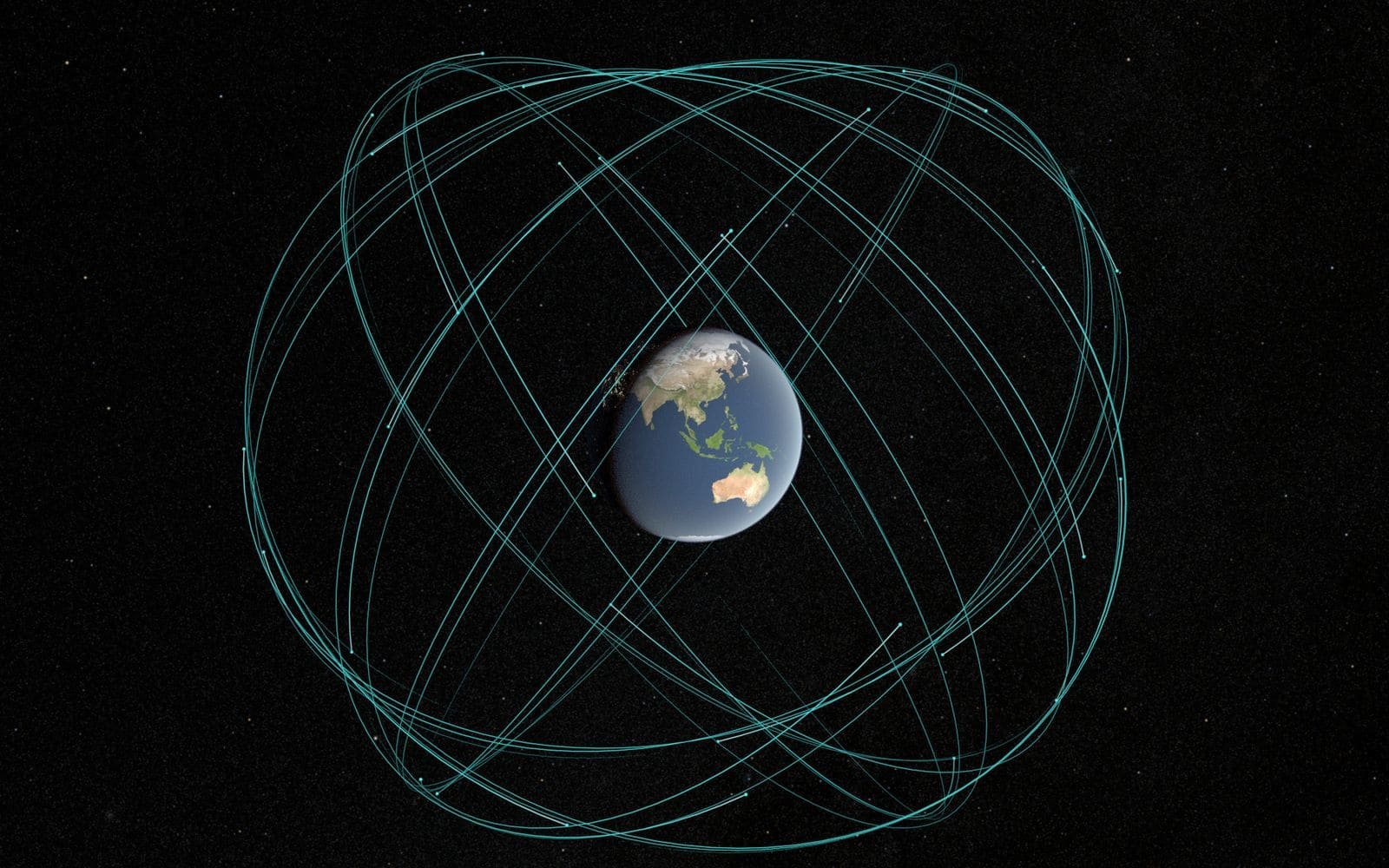
Satellite Navigation, Timing and Positioning
GNSS receivers, survey-grade positioning and precise timing for networks, utilities and industry.
Satellite navigation systems give position, navigation and timing to almost every modern industry. We supply and integrate receivers and timing sources for surveying, construction, drones, telecom networks, data centres, power utilities and broadcast systems.
What this covers: GNSS receivers and antennas, Survey and construction positioning, Drone and machine guidance, Timing and time synchronisation for networks, Vehicle and marine navigation.
Typical uses: Surveying and mapping, Agriculture, Aviation and maritime, Construction, Drones, Logistics, Telecom timing, Banks and financial systems, Power grids and data centres.
Providers in this segment include GPS (United States), Galileo (European Union), GLONASS (Russia), BeiDou (China), QZSS (Japan), NavIC (India).
Othee Technologies is an authorized Starlink installation partner in Uganda. For other providers we design, quote and manage the solution and arrange service with the provider or its authorised distributor; availability, licensing and coverage vary by country.
What we do
- Requirements study: accuracy, update rate and environment
- Receiver, antenna and correction-service selection
- Installation and survey control
- Timing sources and NTP/PTP servers for telecom and data-centre networks
- Integration with drones, machinery and vehicle systems
- Training and support
What we need from you to quote
- Accuracy you need (metres, centimetres or nanoseconds)
- Where and how the receiver will be used
- Systems that must receive the position or time
- Existing equipment
- Budget