Satellite Mining Intelligence
Geological mapping, site monitoring and compliance support for exploration and mining operations.
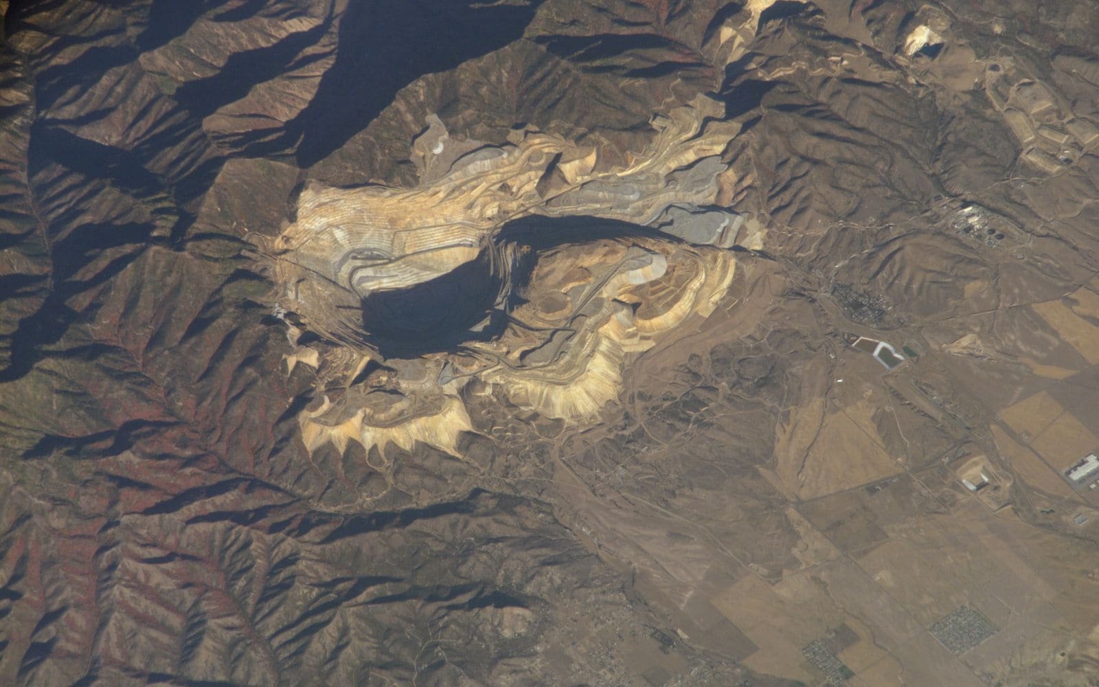
Satellite data helps explorers and operators map terrain and minerals, track site change, watch tailings and access roads, and show regulators and lenders that environmental commitments are met. It can also reveal unlicensed activity near a concession.
What this covers: Geological mapping, Mineral exploration support, Mine monitoring, Environmental compliance, Land-use monitoring, Infrastructure monitoring, Tailings monitoring, Illegal mining detection, Road and access monitoring.
Typical uses: Exploration companies, Mine operators, Quarries, Regulators and lenders, Concession holders.
Providers in this segment include Planet, Maxar, Airbus, ICEYE, Capella Space, Satellogic, BlackSky.
Othee Technologies is an authorized Starlink installation partner in Uganda. For other providers we design, quote and manage the solution and arrange service with the provider or its authorised distributor; availability, licensing and coverage vary by country.
What we do
- Baseline mapping of the concession and surroundings
- Scheduled change-detection reports
- Alerts for new clearings, roads or pits
- Tailings and water-body monitoring
- Satellite connectivity and tracking for the mine site itself
- Reports for regulators and lenders
What we need from you to quote
- Concession boundaries
- Minerals and stage (exploration or production)
- What must be monitored and how often
- Compliance requirements
- Existing GIS data