Satellite Agriculture Intelligence
Crop health, vegetation indices, drought and yield insight for farms, estates and irrigation schemes.
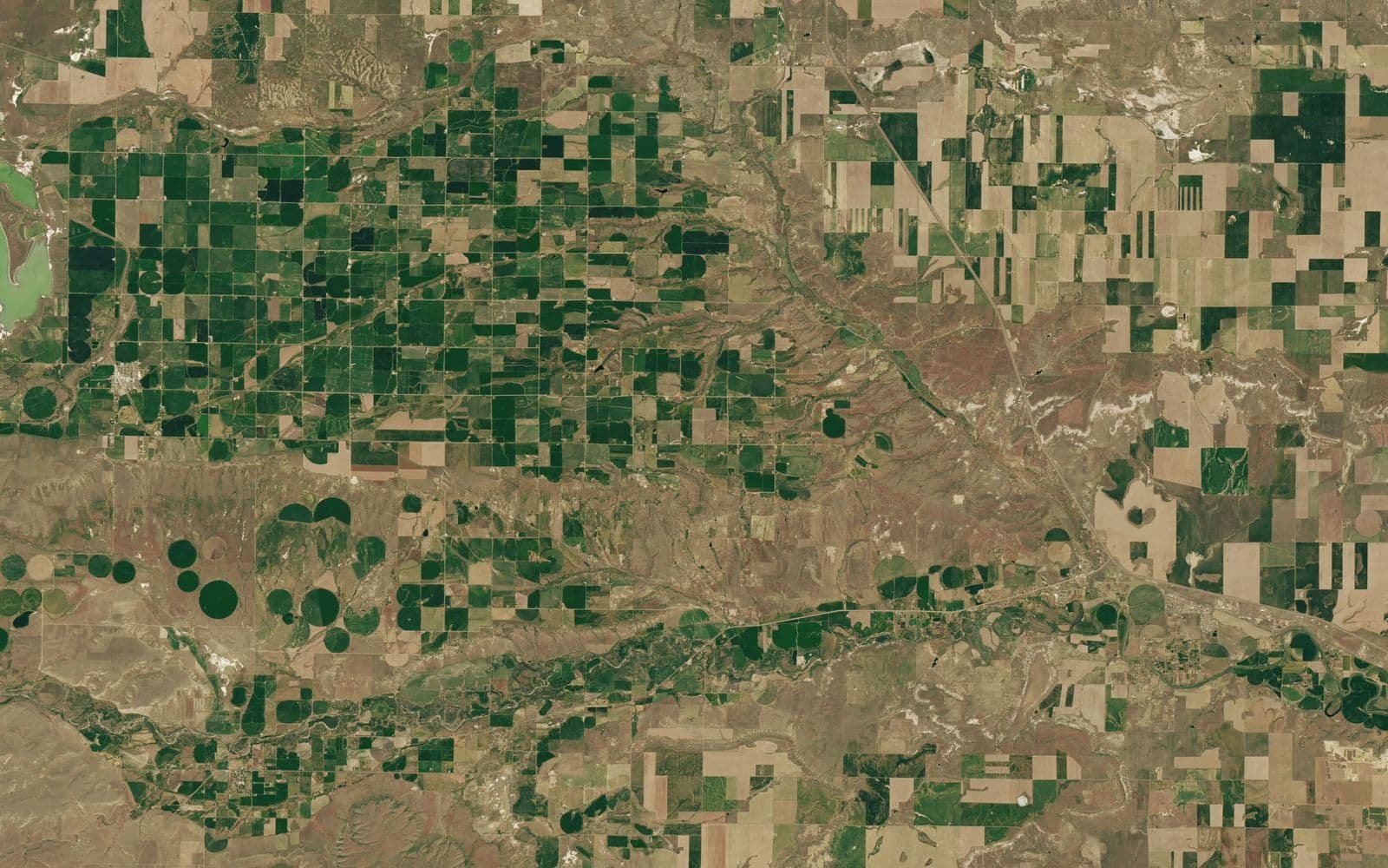
Satellite data shows how crops and pasture are doing field by field, week by week. It complements Othee's greenhouse, irrigation, poultry and farm-automation services with a view of the whole farm and the wider catchment.
What this covers: Crop mapping and NDVI, Vegetation monitoring, Crop stress detection, Soil and land analysis, Irrigation planning, Drought detection, Pest and disease risk, Yield estimation, Farm boundary mapping, Weather intelligence, Pasture and livestock monitoring, Water-resource monitoring.
Typical uses: Commercial farms and estates, Out-grower schemes, Irrigation schemes, Livestock ranches, Agribusiness and lenders, Cooperatives.
Providers in this segment include Planet, Maxar, Airbus, ESA Sentinel / Copernicus, NASA, ICEYE, Satellogic, BlackSky.
Othee Technologies is an authorized Starlink installation partner in Uganda. For other providers we design, quote and manage the solution and arrange service with the provider or its authorised distributor; availability, licensing and coverage vary by country.
What we do
- Farm boundary mapping and a baseline of each field
- Regular crop-health maps and alerts
- Irrigation and drought advice combined with weather data
- Integration with Othee irrigation, greenhouse and sensor systems
- Yield estimates and reports for management, lenders and buyers
- Training for farm managers
What we need from you to quote
- Farm or field boundaries (map, coordinates or addresses)
- Crops and growing seasons
- Questions you want answered (stress, yield, irrigation)
- Existing sensors or farm software
- Reporting frequency