
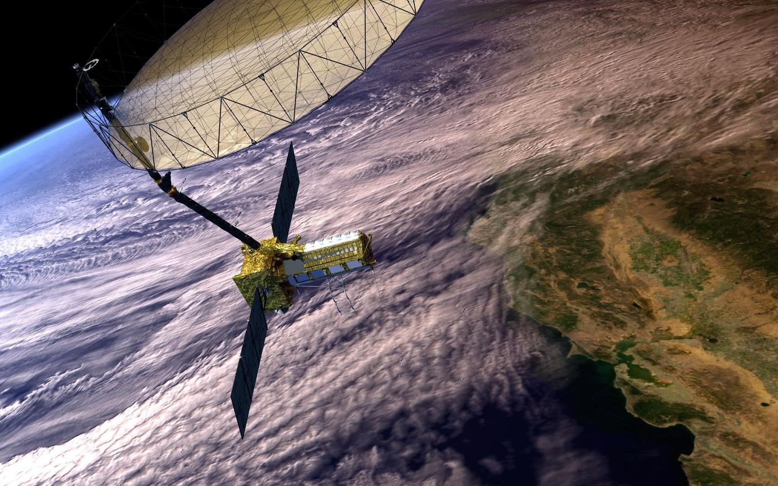
Earth Observation and Satellite Imagery
Optical, radar, thermal and multispectral imagery turned into maps, monitoring and reports.
Earth observation satellites photograph and scan the planet every day. Different sensors answer different questions: optical imagery for maps and land cover, multispectral and hyperspectral for vegetation and minerals, radar (SAR) for floods and ground movement through cloud and at night, and thermal for heat and water stress.
What this covers: Satellite imagery, Land mapping and change detection, Infrastructure monitoring, Flood and drought monitoring, Disaster monitoring, Urban planning, Environmental monitoring, Forestry.
Typical uses: Agriculture, Forestry, Mining, Infrastructure, Floods and droughts, Urban planning, Security, Environmental compliance.
Providers in this segment include Planet, Maxar, BlackSky, ICEYE, Capella Space, Satellogic, Airbus, Umbra, Spire, GHGSat.
Othee Technologies is an authorized Starlink installation partner in Uganda. For other providers we design, quote and manage the solution and arrange service with the provider or its authorised distributor; availability, licensing and coverage vary by country.
What we do
- Define the question: what do you need to see and how often
- Choose the right sensor and provider for the area and budget
- Order, process and deliver imagery and maps
- Dashboards and reports your team can use
- Integration with GIS and your operations
- Ongoing monitoring subscriptions
What we need from you to quote
- Area of interest (map or coordinates)
- What you want to detect or measure
- How often and for how long
- Resolution and budget
- Who will use the results